I-75 Corridor · Atlanta to Chattanooga
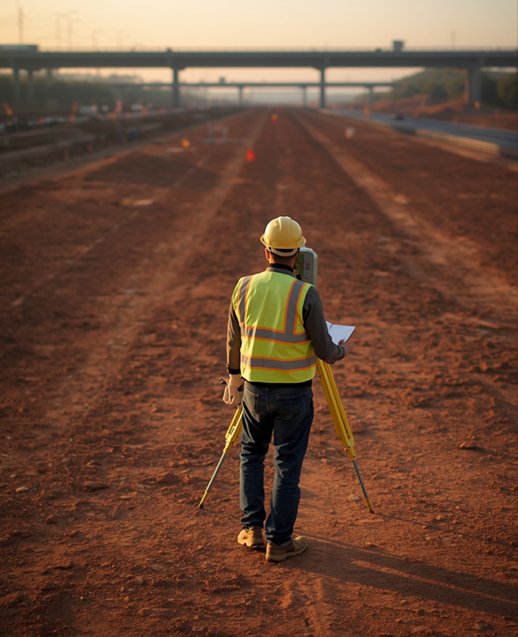
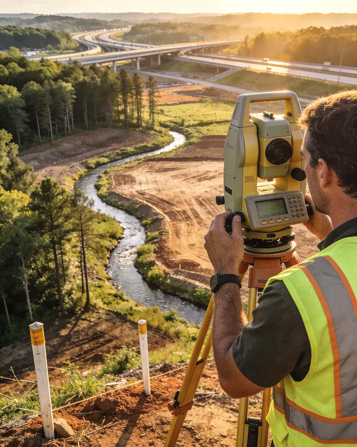
Commercial ALTA / NSPS Land Title Surveys
Commercial ALTA / NSPS Land Title Surveys
A lot can go wrong on
a commercial ALTA survey.
Our job is to make sure
none of it does.
Title packages that arrive too late. Deed descriptions that conflict with the field. Easements with no recorded documentation. The friction points on a commercial ALTA are predictable — if you know the corridor.
Twenty years on the I-75 corridor means we know what lenders flag, what title companies kick back, and what attorneys need to clear exceptions.
We don't react to problems. We prepare for them.