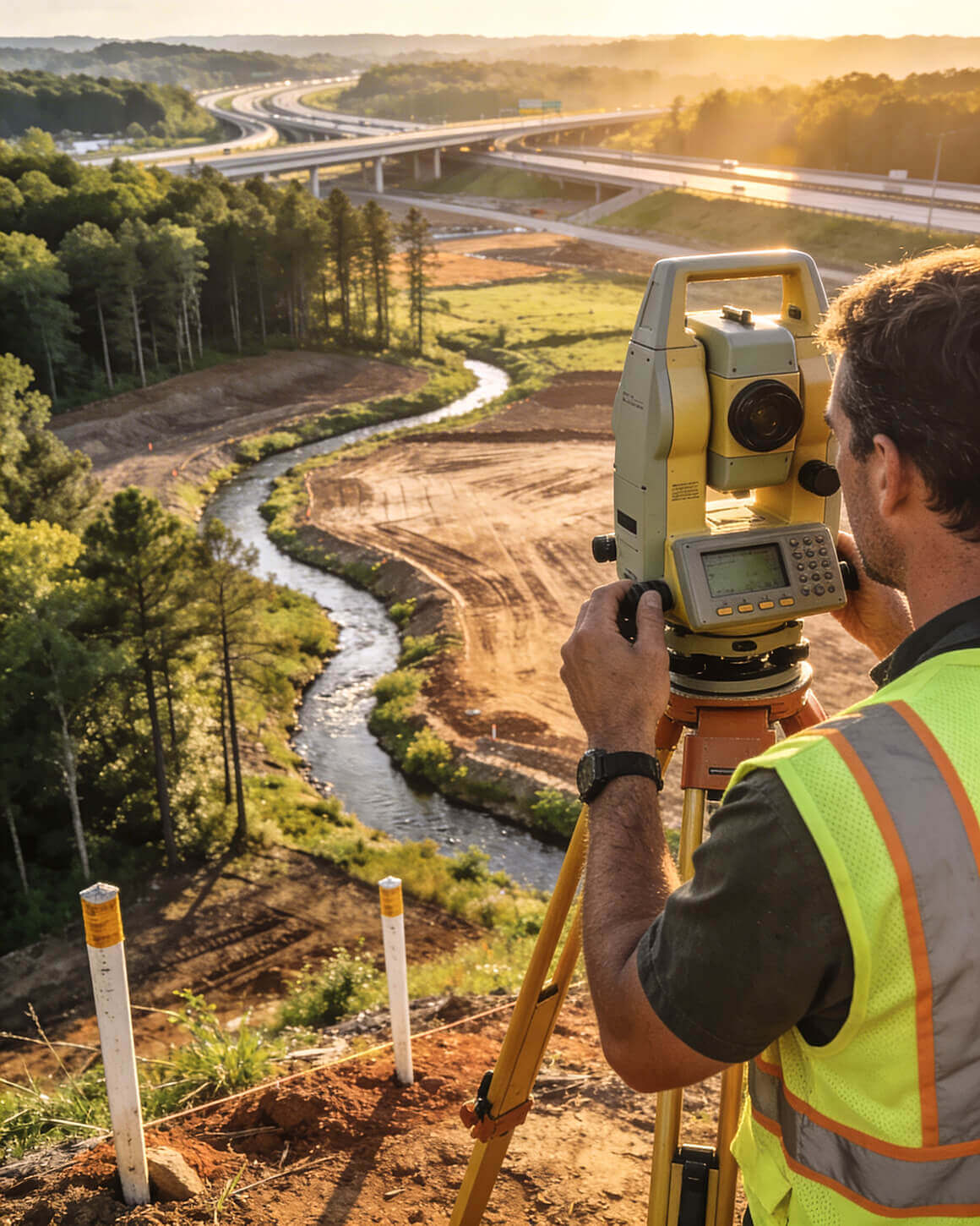
Topographic Surveys
Bad Topo data
doesn't
show up on the drawing.
It shows up in the budget.
When the survey doesn't match the ground, the design doesn't work.
A grading plan that won't balance. Cut and fill volumes off by thousands of cubic yards. A stormwater system that doesn't drain the way the model said it would.
We know this corridor. We know this terrain. We survey it every day.
Where the Process Breaks Down
Most topo problems on this corridor are predictable. The same failure points come up on project after project. Knowing them before mobilization is what keeps your schedule intact.
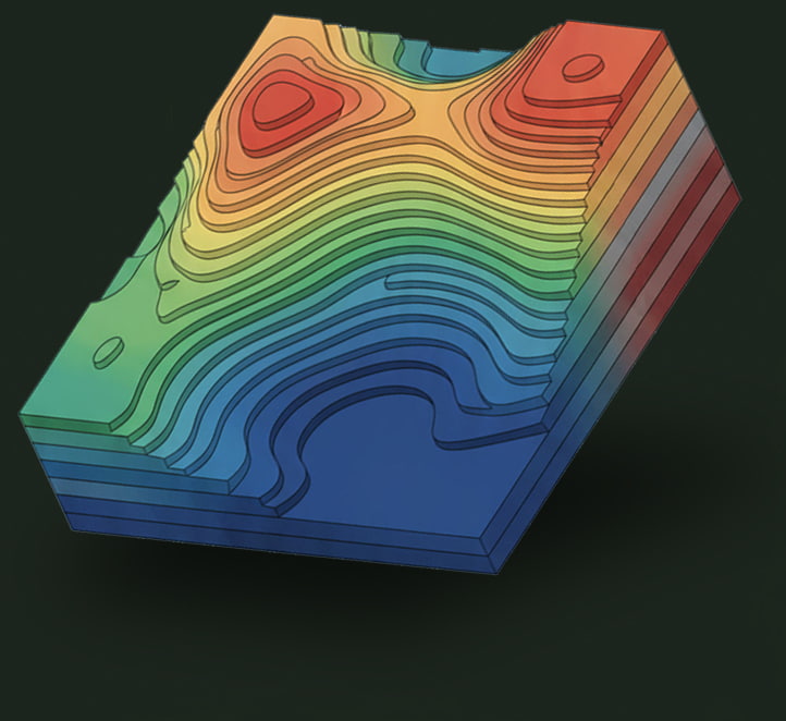
In this corridor, GIS elevation data routinely runs 6–10 feet off field reality. That gap is enough to change drainage design, grading volumes, and buildable area calculations. Design built on it doesn't hold up when construction starts.
One-foot contours vs. five-foot. Specimen trees vs. full tree survey. Utility locations vs. surface features only. Scope confirmed after mobilization means the crew goes back. Your timeline and budget absorb that cost.
We're at the southern edge of the Appalachians where the piedmont transitions into river basins. Old farming terraces, rock outcroppings, creek bottoms cutting across what looks like flat ground on a desktop review. This terrain has to be surveyed — not assumed.
On a 28-acre commercial project in the corridor, we combined 250 ground shots with LiDAR and merged the surfaces. What looked like usable flat ground was floodplain. That changed buildable area before the engineer drew a single line — not after.
These are not edge cases. They are the standard operating conditions across the Atlanta to Chattanooga I‑75 Corridor. The question is whether they surface before design begins — or after the grading contractor is already on site.

Not ready for a call?
The Connector brings I‑75 Corridor development intel straight to your inbox — twice a month, no fluff.
We Work This Ground
Local knowledge isn't a positioning statement. It's knowing that GIS data runs 6–10 feet off field reality on this corridor. It's knowing the old 1900s terrace systems that show up on agricultural land and complicate grading assumptions. It's knowing the Etowah and Oostanaula drainages, the ridge lines, the creek basins. When your engineer is designing off our data, they're designing off the actual ground — not a model that approximated it.
We merged 250 ground elevation shots with LiDAR to produce a comprehensive surface. What desktop review showed as flat usable ground included floodplain and wetland areas that would have affected the entire site design. The engineer had that information before the first plan was drawn.
Four-state licensing across the full I‑75 corridor. One firm, one point of contact, consistent data standards across state lines. We've been doing this work in this geography for over twenty years.
On a large farm-to-residential conversion, traditional methods would have required weeks in the field. LiDAR covered the entire 1,200-acre site in a single day. For large industrial or logistics projects in the corridor, LiDAR is the efficient standard — not a premium add-on.
IN ONE DAY
The Process That Protects Your Timeline
We approach topo work as a coordination effort — not a field exercise. A structured engagement from the first call keeps scope surprises from becoming schedule problems.
Contour interval, feature requirements, deliverable format, and coordinate system confirmed with your design team before a crew leaves the shop. No assumptions, no return trips.
Ground conditions, vegetation density, access constraints, and known hazards assessed upfront. Crew deployment and equipment matched to actual site conditions before day one.
Ground shots, LiDAR where site conditions call for it, existing features located. Data processed and surfaces built in CAD. Deliverables formatted to your engineer's or architect's specifications.
Draft deliverables reviewed with your design team prior to stamping. Questions resolved before the survey is finalized — not after design work is already underway.
We're currently working alongside a developer in Alabama dealing with a grading contractor who can't balance a site. The grades on the engineering plans don't match the ground. The contractor is forming the site horizontally and managing the dirt himself because the designed volumes don't work.
The developer is spending $150,000 per month. It's been going on for over a year. It traces back to surveying and engineering errors made before construction started — before design even began.
A topographic survey done correctly before design begins is the cheapest insurance on the project. The cost of skipping it — or using a firm that doesn't know the terrain — shows up later, when the meter is running and the options are expensive.
Grading plans designed from inadequate data create volume miscalculations that don't surface until the contractor is already moving dirt. By then, the cost to correct is compounding daily.
A drainage system designed off assumed grades instead of surveyed elevations doesn't perform. Fixes require new pipes, additional grading, and expanded detention — all at construction cost, not design cost.
At scale, terrain assumptions compound. A site that looks flat on GIS may have significant grade variation that affects truck court design, building pad elevation, and utility routing — all discovered too late without accurate topo data.
Floodplain and wetland boundaries that weren't identified before design began become permit problems, redesign costs, or worse — post-construction remediation that the project budget never accounted for.
Design can't start until
the data is right.
The projects that run smoothest are the ones where survey data came in early. If you're pre-design and working along the I‑75 corridor, book a 15-minute call and let's figure out if now is the right time to engage.